
Tower and Town, September 2020 (view the full edition) (view the full edition)A Virtual Tour Through Marlborough (Part 2)Going down one of the alleyways from Back Lane and into the High Street we turn right by the Town Hall to go down The Parade. We are now following the line of the A4 - Great West Road before New Road was created in 1810 to avoid the sharp turn at the top by the Bear Inn. The Parade used to be called The Marsh because it flooded frequently and even in my early memory used to flood every other year in winter.
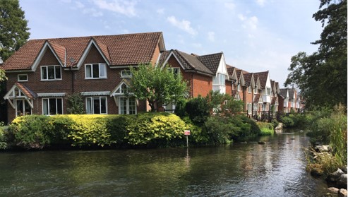
On the left is Culvermead Close named after culver stones which were placed in the river bed and measured the height of the water in the river. There were endless disputes between the millers on the river Kennet because some millers held back water to protect their operations. The culver stones helped settle these many disputes. On the right is Coopers Meadow which is named after Henry Cooper who had a butchers shop in The Parade. He was mayor of the town in 1933 and 1945 and his descendant, Mark Cooper, is Mayor of Marlborough this year. Coopers Meadow was used to graze animals bought at market before going on to the slaughterhouse in Angel Yard. The meadow is now a public amenity where occasionally sheep are grazed.
Crossing the road we pass on the left the new development of Canning Place named after the Canning family who were prominent in Wiltshire in the early 19th century. We are now going along Treacle Bolly which has two tracks. The bottom track, on the right, is full of interest and passes the site of the Castle Mill (corn) and the bathing place for the town, before the swimming baths opened at Town Mill in the 1920s. The site for bathing looks more like a mud bath these days!
We are now on the line of the old Roman road through Marlborough: not very straight and following the twists and turns of the river Kennet. On the left, on the hill and behind the running track is Marlborough White Horse, cut by boys from the Marlborough Academy in 1804. At Preshute House we come to Preshute Lane which is much straighter and on the line of the Roman Road. The origin of the name Preshute is Old English for Priests Cottage. The Parish of Preshute encircled Marlborough until boundary adjustments of 1934. This more or less straight bit of road carries on through Manton Village High Street and on to Clatford. We pass Throg Cottage on the left, a remnant of the old name for Preshute Lane: a throg is part of a wooden plough. Manton was mentioned in the Doomsday book: the name is of Saxon origin and means habitation of the workers of the common fields David Chandler |
 Passing by the old Congregational Church on the right and the old rope works of St Katherines House on the left we cross the river Kennet into Town Mill. This is built on the site of a corn mill, on the right, which operated until 1922 and was a Youth Hostel until the 1950s and, on the left, the town swimming pool until 1985. Carrying on the footpath through Town Mill one crosses a second bridge over the Kennet which is on the line of the rope walk which stretched from St Katherines House to the Police Station.
 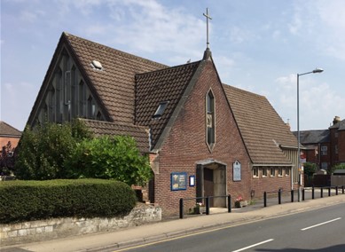 After crossing Coopers Meadow and the car park we come to George Lane, named after the George Inn (demolished in 1945) which was at the east end on the site of the Catholic Church. We keep heading west and come to Pewsey Road and Cow Bridge. On the right is one of the last two pill boxes from the war. The road has been built up since it was in use in the war and now the lower half is buried.
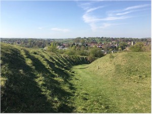 The top track of Treacle Bolly goes past Butterfly Alley on the left (known as the Mule Track to College Boys). This deep track is on the line of an old road up Pewsey Hill before the modern road was created in 1798. Butterfly Alley used to be the Cresta Run of local tobogganing but is now heavily wooded. The name Treacle Bolly is believed to originate from a steamed pudding at Marlborough College named by the boys as Bolly.